In late January 2017, Governor John Hickenlooper stood in front of the crowd that had gathered in Denver for the Colorado Water Congress Annual Convention to address an issue that had been slowly bubbling to the surface among the state’s water leaders and stakeholders.
“We certainly have a wealth of water data now—more than we’ve ever had,” he began. “We’re very supportive of having a hub for water data … a nexus, a place where you know you can get the data. I’m a firm believer that getting more information into the hands of decision makers, the people who are going to use it, creates innovation, new ideas, and better solutions.”

Governor Hickenlooper charged Colorado with developing a hub for water data at the Colorado Water Congress Annual Convention in January 2017. Photo by Richard Myrup, Red Rocks Community College/Courtesy Western Resource Advocates
To many, water data is where energy data was 40 years ago. At that time, it took the perceived petroleum shortages of the 1970s—and the resulting energy crisis—to push stakeholders to start paying attention to energy-use data. With water now facing a similar future, and immersed in a fast-growing data-sharing landscape, Colorado water planners and engineers are working to make data access and collection a higher priority.
This is showing up at Colorado’s lead water policy and protection agency. The Colorado Water Conservation Board (CWCB) embarked this past winter on its first update of the Statewide Water Supply Initiative (SWSI) since 2010, when Dropbox was still in its infancy and Google Drive was two years away from launching.
With a world of new technology at their fingertips, CWCB employees hope the new update will create a positive downstream effect for water users. The update’s final report is expected in early 2018.
The Statewide Water Supply Initiative is a comprehensive, technical analysis of water supply and demand projections for all different types of water uses on a statewide scale. Forecasting Colorado’s water future is no easy task—and it’s one that ultimately relies on myriad data collected from stakeholders all over the state. Some data is relatively simple to both collect and understand. Things like streamflow and rainfall measurements fit into this category, where numbers can be gathered automatically from gauges—though many streams in Colorado lack proficient monitoring. Population data, too, is collected every 10 years by the federal census. Other data, such as water use, are more complicated, requiring further context and categorization, such as separating consumptive uses that deplete streamflows from nonconsumptive uses that don’t.
Planners and engineers on the 2010 SWSI update—the first SWSI was released in 2004—had the ambitious aim of assessing Colorado’s water demands 40 years into the future. They began by using statewide data to establish a baseline of current water use and then compared it with projected population growth. From there, analysts were able to look at the potential impact of increasing municipal demand on agricultural water in addition to new pressures on recreational and environmental water resources. All of this data was sent to the nine state basin roundtables—Arkansas, Colorado, Gunnison, Metro, North Platte, Rio Grande, South Platte, Southwest, and Yampa-White. Stakeholders from each roundtable used the SWSI to assess their basin’s water needs and formulate an implementation plan to meet any projected water supply gaps. These plans, along with SWSI 2010, went on to inform Colorado’s Water Plan in 2015.
Because the Statewide Water Supply Initiative draws on everything from population figures to commercial river-rafting user days, gathering data is a monumental task. In past updates, the CWCB faced challenges with both the uniformity and quality of the information it received, leading some to question the transparency, accuracy and accessibility of the data guiding Colorado’s long-term water decision making. Moreover, some stakeholders raised concerns that the SWSIs weren’t collecting and analyzing data applicable to all of Colorado’s basins, focusing too much on municipal centers.
Nathan Coombs serves as chair of the Rio Grande Basin Roundtable. Located in the southern part of the state, the Rio Grande Basin encompasses some 8,000 square miles of high mountains and low-lying valleys, with 200,000 acres of wetlands. Every spring and fall, the entire Rocky Mountain population of sandhill cranes migrates through the basin. Endangered species like the southwest willow flycatcher and threatened bald eagle call this area home. Fewer than 50,000 people can claim to do the same.
Coombs says that while the SWSIs have provided a good overview of the state’s projected needs, his basin’s interests are unique, as they don’t have strong municipal pressures. “Our water gaps aren’t the same, and so our planning is very concentrated to our issues.”
Coombs says he’d like to see the SWSIs collect more basin-specific data to address their nonconsumptive environmental needs. “We’ve been trying to increase our ability to forecast streamflows because of changes in the watershed that affect fishing and some rafting; how to keep our wetlands wet; and how to keep floods from wildfires from inundating these areas.”
But Chris Kurtz, a consultant with CDM Smith who is leading the environmental and recreation assessment for the SWSI update, says it’s rare for states to even consider nonconsumptive needs. “It’s pretty remarkable that the environmental and recreation assessment exists. Colorado already pays more attention to this than any other state.”

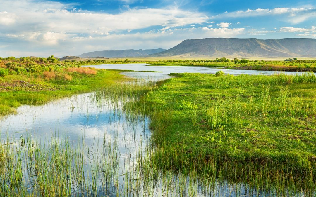
More comprehensive and open water data could facilitate involvement for more Coloradans in making decisions that protect and improve the things they value including recreation, environmental health, local food production, and safe drinking water. AdobeStock
Fortunately for Coombs, the SWSI update will take a more complex approach to water supply planning, focusing on adaptive management. “In this version, we’ll be looking at multiple futures,” says Beorn Courtney, an engineer with Element Water Consulting who is working on the municipal and industrial water demand management portion of the update. This will be achieved by considering different combinations of variables, she says, such as economic growth, social values, climate change, and regulatory oversight, in order to produce different scenarios.
According to the CWCB’s Rebecca Mitchell, who directs and implements the SWSI process, planners realized that the many uncertainties of the future called for fresh refinements to this update, along with future updates to Colorado’s Water Plan.
“How can you determine water need, not just by looking at population growth, but by looking at the sociological pieces—people’s views on water and the land?”
asks Mitchell, providing an example of the deeper layers the SWSI update will address. These layers include political choices, as well as how Coloradans address land use planning in connection with water. Moreover, planners will look at future climate variables, which weren’t included in 2010. This means the CWCB will be collecting new data on these fronts—though what sources they will tap has yet to be decided.
On the municipal side of data gathering, one of the biggest changes since the last SWSI update was the adoption of House Bill 1051 in 2010—along with its implementation starting in 2014—which requires the state’s large water providers to report water use and conservation data on an annual basis for future water supply analyses. For water engineers like Courtney, the bill could put an end to a logistical nightmare.
“At the end of SWSI 2010, we thought ‘Wow, if we’re going to keep doing this into the future, it would really help to have regular reporting from major providers—not scrambling at the last minute and asking for their data,’” Courtney recalls. Until then, engineers were essentially at the mercy of water providers to pass along water use information, she says, which often meant data was coming in at different times, in different formats—if it was supplied at all. Now, with a few years of routine reporting down, this update will be the first test of the bill’s impact on future demand planning.
Getting complete, standardized, and accurate data into the hands of Colorado’s water engineers and planners is only half the battle. For open data advocates, if that same data isn’t publicly accessible, it’s not enough.
Open data is defined as data that is free; accessible to all—not just the organization that collected or generated it; machine-readable; and provides unrestricted rights to use, free of limiting contracts. Having open water data ultimately underscores a transparent and open government, encourages public and private innovation, and can reveal potential biases or errors in data analyses. Under the Colorado Open Records Act, most public records must be made available to the public upon request.
But while much water data in Colorado is, in a sense, available, that doesn’t mean it fits the definition of “open.”
Most major water analyses, including the SWSIs, have been distributed as PDFs or physical documents, which can be a barrier to stakeholders or consumers wanting to do their own analysis as the base data either must be manually culled from the document or isn’t shown at all.
As work on the SWSI update gets underway, Colorado’s water planners are still trying to figure out the best way to collect and distribute water data among agencies—and to the public.
One faction of consultants is working to ensure the data and information generated as part of the SWSI effort are organized, modeled and analyzed in a way that’s helpful for the basin roundtables in their implementation planning, as well as for other user groups.
“We’re considering how to distill the data sets associated with the SWSI into information that is relevant and consumable,” says Matt Lindberg with Brown and Caldwell, who is serving as a consulting project manager on the SWSI update. This distillation includes new tools and datasets that the roundtables can easily update, such as models looking at future water demands, hydrology or steamflow where roundtables can input different data or add potential projects to forecast how they would perform under different future scenarios.
And while the 1051 bill requiring regular, standardized reporting on water use from municipal water providers sounds good on paper, Greg Johnson, who works in the CWCB’s water supply planning division, notes it doesn’t come with much enforcement. “The only hook we have is that large water providers can’t get funding from us if they don’t report data,” he says, noting that many don’t pursue funding anyway, so the incentive just isn’t there. By and large, data reporting has improved, but there are still a lot of holes in consistent reporting, he adds.
Then there’s the matter of the sheer quantity of data, kept in different formats on different servers across the state. SWSI 2010 relied heavily on a few spreadsheets with huge volumes of data that were incredibly complicated to hand off to someone else, says Johnson. As a result, most of that data was distilled into visuals, like a bar graph showing predicted agricultural water demands and shortages by 2050, or a table showing the estimated water demands for snowmaking in ski-heavy counties. Many of these were unaccompanied by methodology or data citations in the published report.
Fortunately, the data-sharing landscape has changed drastically since 2010. Many of the past limitations on data accessibility were attributable to insufficient technology for distribution. For the current SWSI update, open data advocates recommend using data-sharing platforms and online open data portals—putting all data into an easily accessible format that’s the same across the board.
The Colorado Information Marketplace, the state’s big data site that already houses some water information, is one central option that Johnson says those working closely on SWSI are considering. “[The CWCB] is more focused on delivering raw data this time around,” says Johnson. “We’re looking at what the important data sets [are], and how we’re going to structure those appropriately to deliver open data.”
Outside of state government, other players are entering the open water data game, too. Will Sarni is the founder of WetData, an up-and-coming nonprofit designed to facilitate access to Colorado’s water data—primarily by the public sector but with a goal to integrate private data where possible.
“Every stakeholder makes better informed decisions with access to data. If you have a dollar to invest in water infrastructure, it’s like throwing a dart if you don’t understand water scarcity issues and projections, and where you need to make that investment,” says Sarni. “Transparent, readily accessible water data is what we want to drive towards.”
And yet as we move forward, it’s still surprising to engineers like Courtney how little information is available online concerning water when other information is so prevalent. “You can Google somebody and find out so much information about them, but you can’t easily find the total water use for the city over the past year,” she says. “It’s an interesting conundrum.”

 Print
Print