Kestrel Kunz is surfing, Colorado style, in her kayak among the waves at the Gunnison Whitewater Park a few miles west of town. The waves are more than recreational play for Kunz. Flowing water is an important part of the work she does for American Whitewater as the organization’s Southern Rockies associate stewardship director. For Kunz, the Gunnison River is like a watery crystal ball that gives her a glimpse into a future increasingly threatened by drought and climate change.
Kunz is the mastermind behind a prototype web tool developed by American Whitewater and the Upper Gunnison River Conservancy District that may change the future of river management across Colorado and eventually the West. The tool, the Upper Gunnison Basin Boatable Days Web Tool, is based on historical wet and dry year flows and other data and gives river users and water managers the ability to check an entire season’s flow forecast.
The Boatable Days Web Tool, Kunz said, “shows the relationship between river flow and recreational opportunities. With a little research we can use historic flows to project how a dry or wet year, a new diversion project, a climate change scenario, or reservoir operations can positively or negatively impact river recreation opportunities and thus Colorado’s robust outdoor economy.”
Being able to look ahead is an especially important feature for the state’s fishing and rafting outfitters, Kunz said. “The web tool will give an estimation on what flows are going to look like and how that is going to affect the number of commercial operating days in an upcoming season and help them plan in advance.” If outfitters know they’re not going to have sufficient boatable flows in September and October they might bring employees in earlier or may have to shift the way they do business and when they do it.
Kunz sees the tool as an opportunity for water managers both locally and at the state level to use the information to better balance flows for recreation with other needs. “This tool provides an important snapshot into how recreation opportunities are going to be impacted by drought. The web tool in no way is going to solve our drought problem, but it’s a critical piece of the puzzle that’s been missing before now.”

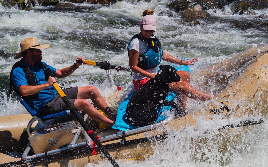
Kestrel Kunz surfs in her kayak at the Gunnison Whitewater Park in Gunnison, Colo. on May 24, 2021. Kunz is American Whitewater’s Southern Rockies associate stewardship director and is the creator of the Boatable Days Web Tool, which helps forecast river flows. Credit: Dean Krakel
Kunz and American Whitewater are currently working to fit other pieces of Colorado’s river puzzle together by finalizing boatable days studies on the Roaring Fork, Crystal, and Poudre rivers and creating similar web tools.
“I think the biggest thing the tool does is give us a perspective on how climate change and drought are impacting our rivers,” said Sonja Chavez, general manager of The Upper Gunnison River Water Conservancy District. Chavez believes the next step will be to gain a better understanding of how changing river flows affect the local economy.
“Gunnison has been discovered,” Chavez said. “We have a lot of people visiting and a lot more people on the river.” As river flows drop, rafters, boaters, and other water users are concentrated into certain segments of the river with more frequency, impacting the fishery and wildlife, boat ramps, wetlands and the boating experience. You can see in water short years how that recreation season is shortened and that’s important for a community like Gunnison that is dependent on recreation.
This web tool is going to be a good model for how communities can come together and identify how their rivers are functioning,” said Trout Unlimited’s Dan Omasta. Omasta was TU’s grassroots coordinator during the development stage of the Boatable Days Water Tool and worked with Kunz and American Whitewater to identify ideal flow ranges for fishing and floating, and the high and low thresholds for navigation.
“When is the river too low to float for a dory or raft with clients?” said Omasta. “The tool will especially help identify sections of river that become unnavigable at certain flows. The Taylor and Gunnison rivers are seeing a lot of pressure. They get busier every year and one of the ways to tackle that challenge is to spread people out and encourage them to be floating and fishing different sections.
“More people are recreating on rivers and that’s awesome to see. We just need to be smarter about how we manage it and hopefully this tool can play a part in that,” Omasta said.
Dean Krakel is a photographer and writer based in Almont, Colo. He can be reached at dkrakel@gmail.com.
Fresh Water News is an independent, nonpartisan news initiative of Water Education Colorado. WEco is funded by multiple donors. Our editorial policy and donor list can be viewed at wateredco.org.
 Print
Print